WITH A HEART ON THE HILL AND IN THE MINE
30th Meeting of Mining Towns and Municipalities of the Czech republic 19th European Day of Miners and Metallurgists
12 - 14 June 2026 in Příbram
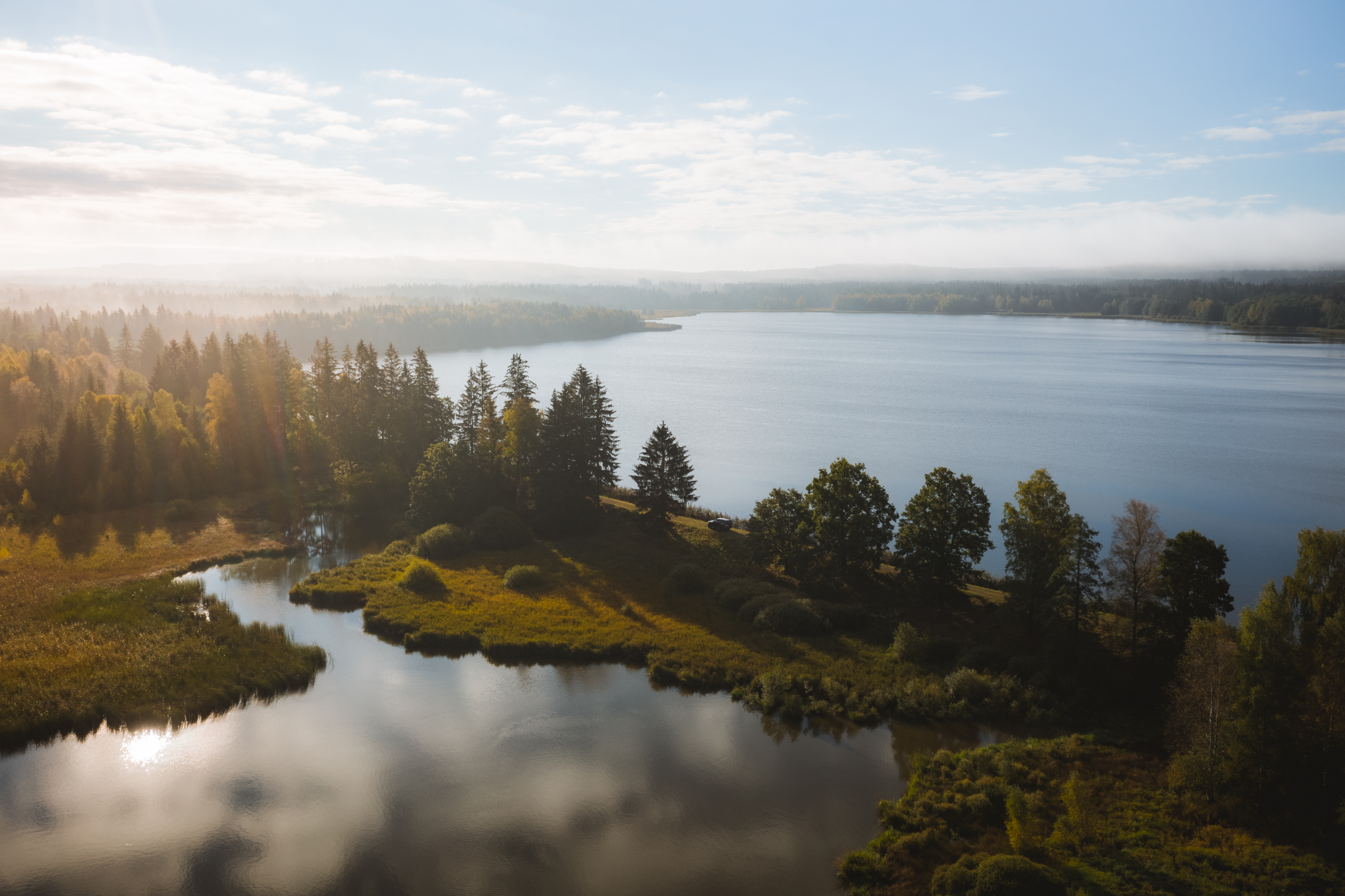
Padrta Ponds (walking tour)
From Orlov (local part of Příbram, public transport) we will take the 8190 cycle route through the U Slaniny grove to Pilský Pond. From there we continue along this cycle route to the Pilská studánka, climb up to the locality of Bor (where the Archbishop's hunting lodge used to be) and descend along the asphalt road to the romantic chateau Tři Trubky. From there we follow the Josefka forest path (cycle route 2252 and at the junction on the left 2273 and then 315) to the Dolejší Padrťský pond.
After the dam of Dolejšího padrťský rybník we will go along cycle route 2251 and 2273A to the crossroads Na Rovinách, from there we will follow the yellow trail to the second highest peak in Brda - Praha ( 862 m), then around Malý Tok (843 m) along the forest trail Tocká, along the blue trail Havelská to Skelná Hut', to Pilský rybník and back to Orlov.
The ponds were created in the 16th century and served mainly as a water reservoir for floating timber for the steelworks. They take their name from the village of Padrť, which was displaced and destroyed in 1953. However, there are actually more than two ponds in Padrta. In the Padrta area we could count eight other smaller reservoirs, but only the four largest ones bear their own name - Výtažník, Šindelka, Gričák and Ledvinka. These smaller ponds were mainly used to power the iron hammers, blast furnace, saws and mill in the village of Padrť. Fish farming was of only marginal importance here. All the larger ponds in the Padrta area are linked in some way to the Padrta stream (Klabava), the smaller ones to tributaries (e.g. Zlatý potok).
Fotogalerie
General partners


Main partners


Partners


Media partner

Event organizers